
EVERY ROAD
HAS A
STORY
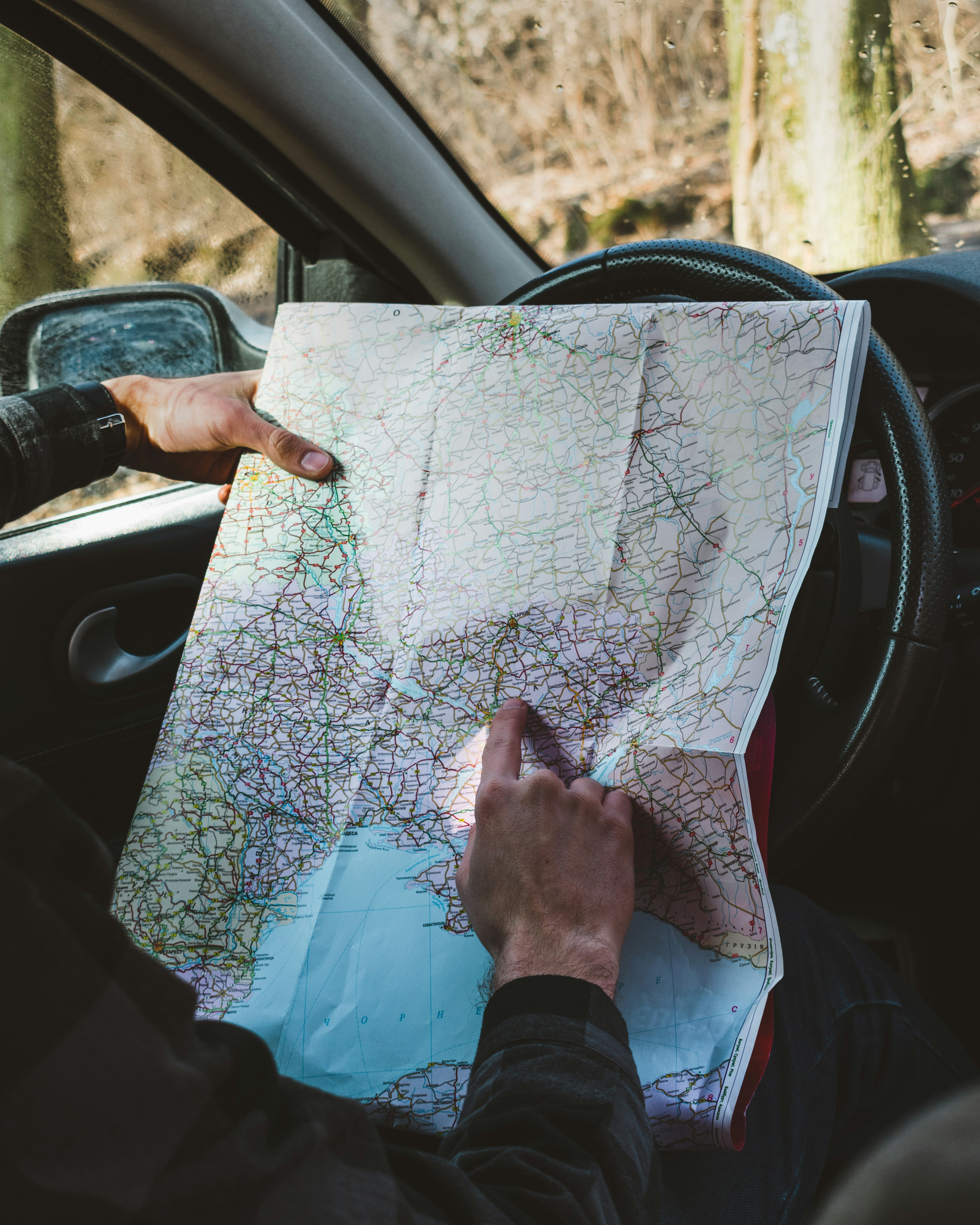
Windows down, endless highway ahead, not knowing what's around the next curve. That's what this is about.
Photo by Dino Reichmuth on Unsplash
YOU'VE DRIVEN
A ROUNDING ERROR
OF IT
These are counts of every road we've mapped, country by country. Even a lifetime of Sundays wouldn't turn one of them green.
YOUR MAP.
YOUR JOURNAL.
YOUR ADVENTURE.
Hit start and go. Every road you cover lights up green on your map — tracked in the background, even with your screen off.
Each trip becomes a drive — distance, new roads, time on the road. Rename it, revisit it, or share a card of it with friends.
Tap any road you've driven and pin a photo to it. Your memories live on the map — and only ever on your phone.
Found a great stretch? Send it as a Google Maps pin, an app link, or a web page — however your friends will open it.
Drives, memories and history stay in local storage. Export the lot as a zip whenever you like.
Batch intervals, GPS sampling, cache size, photo compression — sensible defaults out of the box, but every knob is yours.

NOT A DATA BUSINESS
I DON'T WANT
YOUR DATA
I will probably write a blog about the tech and journey, but to summarize (yes this is a summary) -
There used to be a login/signup flow with plans to have a paid tier for data sync and/or gps processing but the stuff was too heavy to run real time, so I tried caching it on Cloudflare's Edge with like a 30 day TTL coz I was (still am) on the free tier.
The free tier gives me only 1 cache rule so I cached the website and the vector tile stuff from Martin together. This was fine until I asked some friends in different countries to test it out. And since I was hosting it at home at the time, my computer was not powerful enough to keep up with the load so it crashed coz my friends kept scrolling and panning across the state/country to see where to go next.
Then I thought of enabling Cloudflare Cache Reserve and preloading their country data using a loop or something. And it worked that way till I got the bill lol.
So I moved the whole thing onto your phone. Road matching runs on the device against a downloaded database. There is no API to call, no session to keep, no tiles to meter. The only thing left to host is a few gigabytes of static files on R2 which is waay more economical as there are no egress fees and the cost per GB is pretty reasonable and the offline packs are not likely to change
Don't take my word for it — the code's on GitHub.
- —There is no server to send your data to
- —Your data lives on your phone and you are responsible for backups
- —You don't need an account and the app will work without one
- —GPS matching happens on your device
- —Downloading a pre-compiled pack is required to start using the app. These are free forever
- —Camera and file perms required to store pics and export data
- —I don't have any analytics or tracking
- —And I am practically broke, so I could not afford to collect your data even if I wanted to
The whole idea, in one loop: drive a road, watch it light up green.
A SIMPLE DREAM, REALIZED
Go anywhere. Take any road — the highway you know by heart, or the dirt track you've always wondered about.
Log the roads you've traveled. Watch them light up on your personal map. Your journey, visualized.
Discover the roads you haven't driven. Let the blank spaces on your map become your next destination.
The loop above, but running.
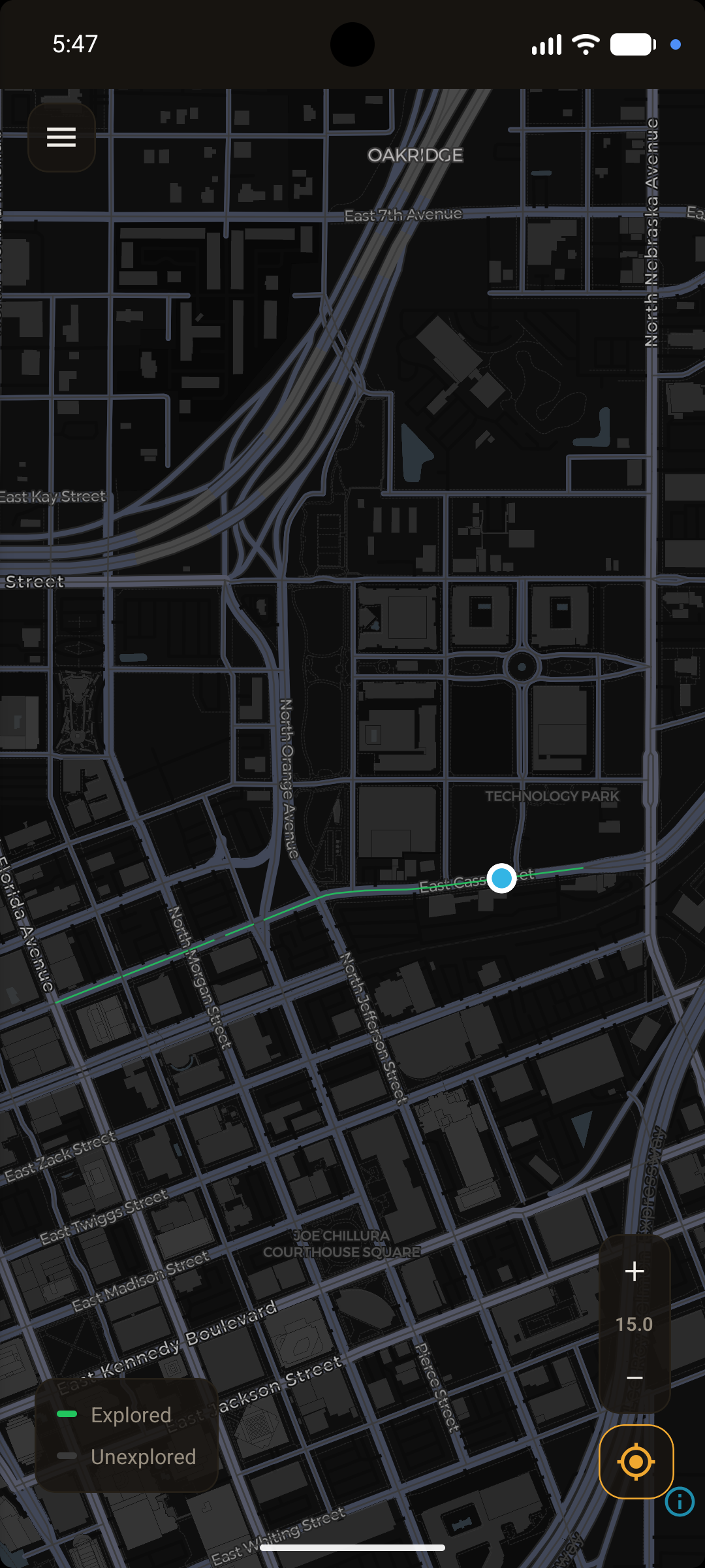
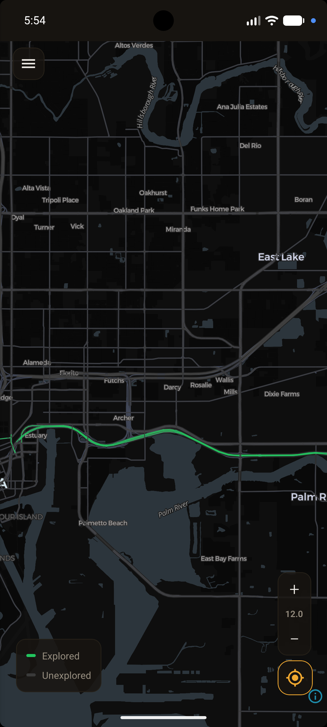
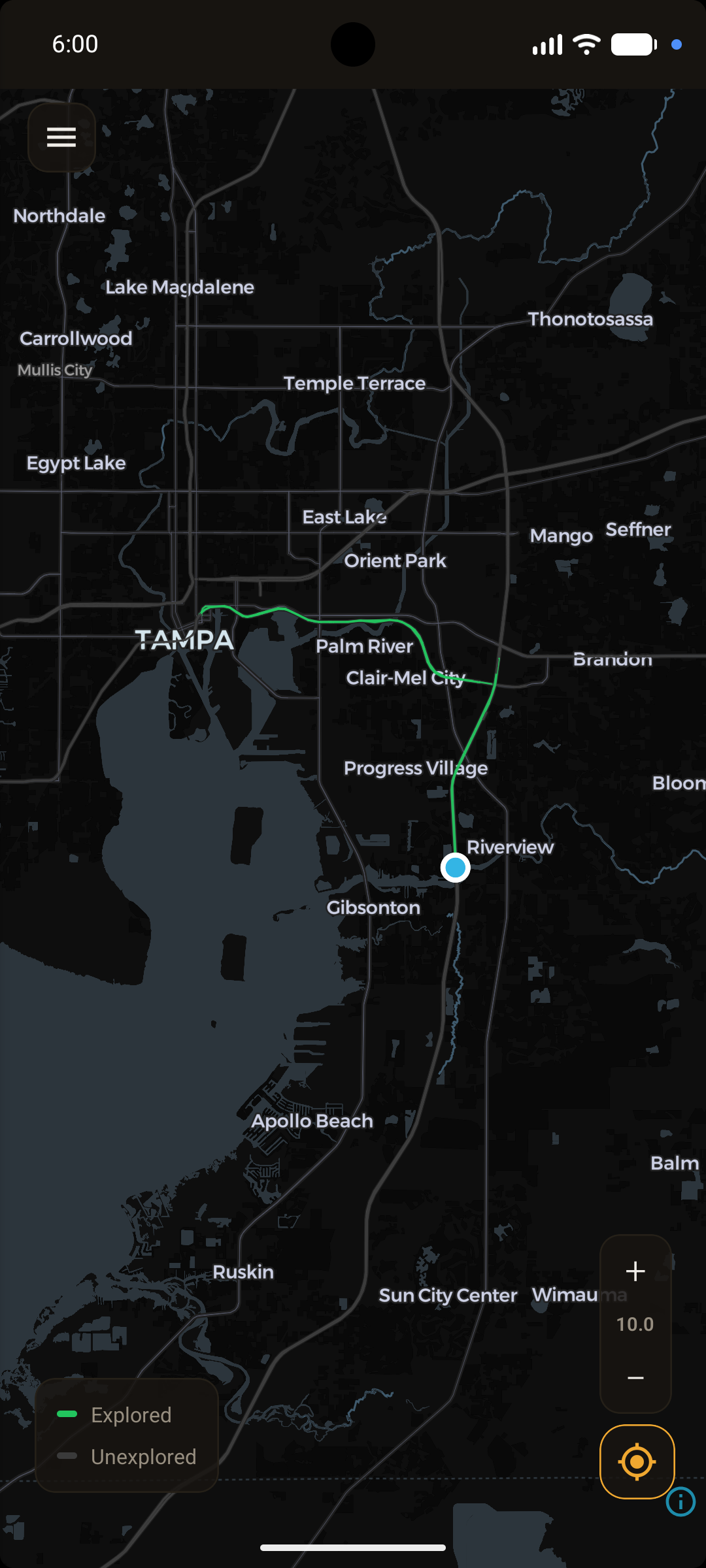
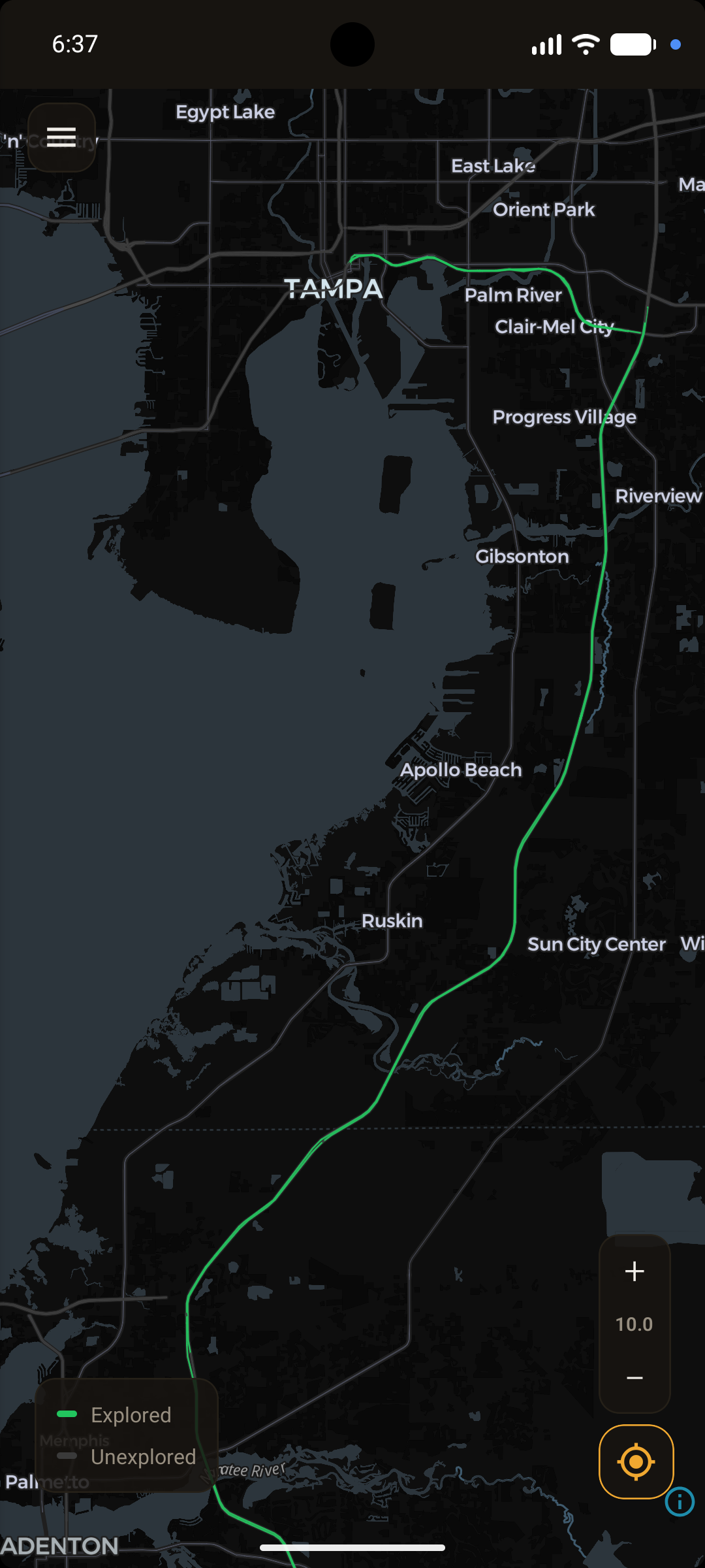
That animation is a hand-drawn mockup. These are screenshots of the app itself, matching a route against real OpenStreetMap data around Tampa — the same green line, growing from a single street to a region-wide trail.
Real app, real OpenStreetMap data, real road matching — but a simulated GPS route on an emulator, run faster than anyone should drive. The only thing faked here is the car.
THE DATA IS
PUBLIC
Every region the app uses is a SQLite file you can download right now — without the app, without an account. The schema is documented. If you want to build something with them, go ahead.
- regions
- 112regions
- roads
- 79,137,398roads
- to download
- 7.9 GBto download